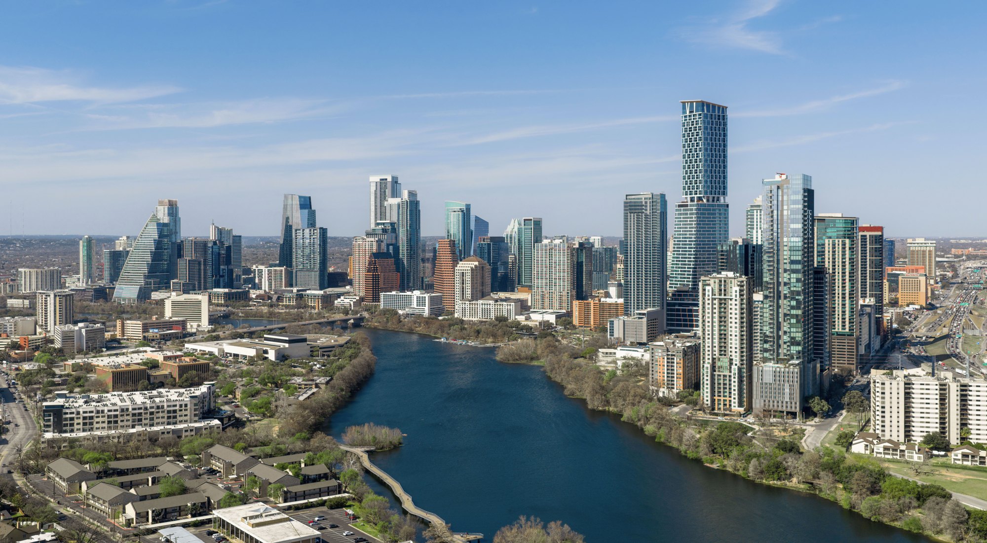
Skyline of Austin, Texas (cropped)

Outdoors

Swimming holes and lakes near Austin

Lakes, rivers and beaches near Austin where swimming is allowed on public land.

13places to swim
26 mito the closest
1within 30 miles
April–Octoberbest months

Good to know: Most natural swimming areas have no lifeguard; check water-quality advisories and current conditions before swimming.

Closest picks

1

Russell Park

26 mi north · US Army Corps of Engineers

Russell Park is located on the west side of Georgetown Lake, in the Texas Hill Country approximately 25 miles north of Austin. Visitors enjoy boating, fishing and exploring the San Gabriel River Trail.

2

Taylor

34 mi northeast · US Army Corps of Engineers

Taylor Campground, on the banks of Granger Lake, is an excellent lakeside destination for families of all ages. The park pleases nature lovers with its hiking trail and water skiers with its easily accessible boat dock.

3

Willis Creek

35 mi northeast · US Army Corps of Engineers

Willis Creek is the ideal place for campers looking for a variety of accommodations. A group campground and five equestrian sites are available, in addition to a row of standard camping sites.

Map of all 13 places

Map of 13 places loads as you scroll.

Within 30 miles (1)

26 mi north · US Army Corps of Engineers · Campground

Russell Park

Russell Park is located on the west side of Georgetown Lake, in the Texas Hill Country approximately 25 miles north of Austin. Visitors enjoy boating, fishing and exploring the San Gabriel River Trail.

  • Boating
  • Camping
  • Fishing
  • Hiking
  • Hunting
  • Mountain Biking
  • Paddling
  • Picnicking

30 to 75 miles (10)

34 mi northeast · US Army Corps of Engineers · Campground

Taylor

Taylor Campground, on the banks of Granger Lake, is an excellent lakeside destination for families of all ages. The park pleases nature lovers with its hiking trail and water skiers with its easily accessible boat dock.

  • Biking
  • Camping
  • Fishing
  • Hiking
  • Swimming
  • Water sports
  • Wildlife viewing

35 mi northeast · US Army Corps of Engineers · Campground

Willis Creek

Willis Creek is the ideal place for campers looking for a variety of accommodations. A group campground and five equestrian sites are available, in addition to a row of standard camping sites.

  • Camping
  • Fishing
  • Horseback riding
  • Swimming
  • Water sports

36 mi northeast · US Army Corps of Engineers · Campground

Wilson H Fox

Wilson H. Fox Park attracts a variety of campers looking for a fun-filled escape. In springtime, the campground is a colorful place covered in a blanket of wildflowers.

  • Camping
  • Swimming

41 mi southwest · US Army Corps of Engineers · Campground

Potters Creek Park

Potters Creek Park is situated on the northern shore of Canyon Lake in the rolling hill country of South Central Texas. Cool breezes off the lake create a pleasant environment for relaxing in this scenic area.

  • Camping
  • Educational Programs
  • Fishing
  • Hiking
  • Swimming
  • Wildlife viewing

51 mi north · US Army Corps of Engineers · Campground

Dana Peak

Dana Peak Campground is located on a peninsula on the shoreline of Stillhouse Hollow Lake in central Texas.

  • Biking
  • Camping
  • Fishing
  • Horseback riding
  • Swimming

53 mi north · US Army Corps of Engineers · Campground

Stillhouse

Stillhouse Park is a day use area that has two reservable group pavilions along the shore of Stillhouse Hollow Lake in central Texas.

  • Boating
  • Camping
  • Fishing
  • Swimming

58 mi north · US Army Corps of Engineers · Campground

Westcliff

Westcliff Park is a day-use area and campground located on the southwestern shore of Belton Lake.

  • Camping
  • Swimming

60 mi north · US Army Corps of Engineers · Campground

Temples Lake

Temples Lake Park is a day-use facility with over 60 picnic sites and one reservable group area on the southern shore of Belton Lake.

  • Boating
  • Camping
  • Fishing
  • Swimming

63 mi north · US Army Corps of Engineers · Campground

Cedar Ridge (Tx)

Cedar Ridge Park campground is located on the Northern side of Belton Lake. This year-round campground accommodates both tents and RVs and has several sites with screened shelters for those who do not have camping equipment.

  • Birding
  • Boating
  • Camping
  • Fishing
  • Hiking
  • Picnicking
  • Swimming
  • Water Activities

68 mi north · US Army Corps of Engineers · Campground

Winkler Park

Winkler Park is a small, primitive campground on the northern shore of Belton Lake in Central Texas.

  • Biking
  • Birding
  • Boating
  • Camping
  • Canoeing
  • Fishing
  • Hiking
  • Kayaking

75 miles and farther (2)

130 mi northeast · US Army Corps of Engineers

Navarro Mills Lake

Navarro Mills Lake holds the state record white crappie at 4lbs 9 ounces.

  • Boating
  • Camping
  • Fishing
  • Hiking
  • Kayaking
  • Picnicking
  • Swimming
  • Water sports

133 mi south · Bureau of Reclamation

Choke Canyon Reservoir

Choke Canyon Dam and and reservoir are features of the Nueces River Project . The reservoir provides a water supply for Corpus Christi, Texas.

  • Boating
  • Camping
  • Fishing
  • Hiking
  • Hunting
  • Picnicking
  • Recreational Vehicles
  • Swimming

Distances are straight-line miles from downtown Austin. Listings come from Recreation.gov’s federal recreation database; check each official page for hours, fees, fire restrictions and closures before you go.

Get outside around Austin

Austin Texas 4K Driving Tour - Live Music Capital of the World City Drive video thumbnail

A DRIVE AROUND TOWN

Austin Texas 4K Driving Tour - Live Music Capital of the World City Drive

Austin Texas 4K Driving Tour - Live Music Capital of the World City Drive. A film shared by The Travel Docket.

Watch on YouTube ↗

More outdoors near Austin

Questions

Where is the closest place for swimming near Austin?

Russell Park (US Army Corps of Engineers), about 26 miles north of Austin as the crow flies. Next are Taylor (34 mi) and Willis Creek (35 mi).

When is the best time for swimming near Austin?

Based on Austin’s average highs, April–October. Conditions at higher elevations can be much cooler.

Who manages these places?

Federal agencies including US Army Corps of Engineers, Bureau of Reclamation. Each listing links to its official page for hours, fees, closures and current conditions.

Austin AI

Your Austin local guide
Hey there!

I'm Austin AI. Ask about neighborhood food, independent shops, local history or planning a visit.

AI recommendations may be inaccurate. Verify hours and prices. Questions are processed by Cloudflare. Privacy